Property Record
10 E Cambridge Circle Dr, Kansas City, KS 66103


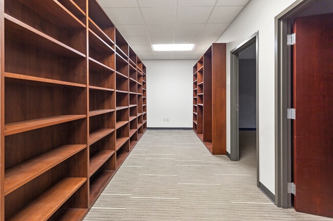
Property Detail
10 E Cambridge Circle Dr
Kansas City, MO-KS
CAMBRIDGE TERRACES KANSAS, S22, T11, R25, ACRES 3.13, E 120FT L4 & E 330FT L5; OGLEBAY PLACE: L1 TO L8; WEST GARFIELD: L1 TO L4; ALSO VAC STS ADJ
220621
Wyandotte
Officebuilding
Kansas
B and X Area of moderate flood hazard, usually the area between the limits of the 100-year and 500-year floods.
4
2025
3.13 AC
2025
Kansas City KS
043000
Kansas City
55,232 SF
NEARBY LISTINGS FOR SALE OR LEASE
DEMOGRAPHICS near 10 E Cambridge Circle Dr
1 mile
3 mile
5 mile
2025 Total Population
3,918
114,751
277,431
2030 Population
3,991
118,545
285,982
Pop Growth 2025-2030
+ 1.86%
+ 3.31%
+ 3.08%
Average Age
37
37
37
2025 Total Households
1,664
56,770
121,022
HH Growth 2025-2030
+ 1.62%
+ 3.52%
+ 3.25%
Median Household Inc
$60,492
$60,787
$58,422
Avg Household Size
2.30
1.90
2.20
2025 Avg HH Vehicles
1.00
1.00
1.00
Median Home Value
$257,512
$244,919
$211,194
Median Year Built
1949
1956
1953
Nearby Places
Map Layers
Map Styles
 Street
 Aerial
Layers
 Traffic
 Biking
Places
Listings with unknown addresses are not visible on the map
- Restaurants
- Banks
- Shops
- Fitness
- Groceries
PUBLIC TRANSPORTATION
COMMUTER RAIL
Drive
Walk
Distance
6 min
2.0 mi
AIRPORT
Kansas City International
Drive
Walk
Distance
Kansas City International
31 min
21.2 mi
SALE & LEASE HISTORY
LISTING DATE
SALE/LEASE

Dec 06, 2017
For Lease
Nearby Properties
Address
Land Use
TOTAL SIZE
Lot Size
Zoning
Address
Land Use
TOTAL SIZE
Lot Size
Zoning
761,113 SF
18.37 AC
KC3
Address
Land Use
TOTAL SIZE
Lot Size
Zoning
91,485 SF
10.11 AC
Address
Land Use
TOTAL SIZE
Lot Size
Zoning
208,800 SF
5.57 AC
KRP5
Address
Land Use
TOTAL SIZE
Lot Size
Zoning
172,810 SF
Address
Land Use
TOTAL SIZE
Lot Size
Zoning
191,956 SF
10.45 AC
KR1B
Address
Land Use
TOTAL SIZE
Lot Size
Zoning
568,235 SF
9.59 AC
Address
Land Use
TOTAL SIZE
Lot Size
Zoning
126,962 SF
4.50 AC
KC0
Address
Land Use
TOTAL SIZE
Lot Size
Zoning
488,351 SF
8.34 AC
Address
Land Use
TOTAL SIZE
Lot Size
Zoning
132,304 SF
3.72 AC
KCD
Address
Land Use
TOTAL SIZE
Lot Size
Zoning
1,825,083 SF
25.77 AC
Address
Land Use
TOTAL SIZE
Lot Size
Zoning
404,524 SF
5.51 AC
Address
Land Use
TOTAL SIZE
Lot Size
Zoning
711,196 SF
15.58 AC
Address
Land Use
TOTAL SIZE
Lot Size
Zoning
105,247 SF
0.72 AC
Address
Land Use
TOTAL SIZE
Lot Size
Zoning
277,042 SF
0.40 AC
Address
Land Use
TOTAL SIZE
Lot Size
Zoning
257,647 SF
3.63 AC
Address
Land Use
TOTAL SIZE
Lot Size
Zoning
277,267 SF
4.18 AC
KCD
Address
Land Use
TOTAL SIZE
Lot Size
Zoning
626,244 SF
16.41 AC
Address
Land Use
TOTAL SIZE
Lot Size
Zoning
44,491 SF
1.96 AC
C3A2
Address
Land Use
TOTAL SIZE
Lot Size
Zoning
81,578 SF
1.63 AC
Address
Land Use
TOTAL SIZE
Lot Size
Zoning
124,492 SF
4.24 AC
Address
Land Use
TOTAL SIZE
Lot Size
Zoning
162,989 SF
3.92 AC
KC0
Address
Land Use
TOTAL SIZE
Lot Size
Zoning
115,627 SF
1.56 AC
Address
Land Use
TOTAL SIZE
Lot Size
Zoning
261,570 SF
1.82 AC
Address
Land Use
TOTAL SIZE
Lot Size
Zoning
157,488 SF
1.60 AC
Address
Land Use
TOTAL SIZE
Lot Size
Zoning
87,294 SF
0.70 AC
Address
Land Use
TOTAL SIZE
Lot Size
Zoning
803,812 SF
5.85 AC
Address
Land Use
TOTAL SIZE
Lot Size
Zoning
129,265 SF
1.17 AC
Address
Land Use
TOTAL SIZE
Lot Size
Zoning
274,622 SF
1.35 AC
Address
Land Use
TOTAL SIZE
Lot Size
Zoning
109,563 SF
0.98 AC
Address
Land Use
TOTAL SIZE
Lot Size
Zoning
149,157 SF
0.02 AC
URD
The World's #1 Commercial Real Estate Marketplace
Connect with us
© 2026 CoStar Group
The information above has been obtained from sources believed reliable. While we do not doubt its accuracy we have not verified it and make no guarantee, warranty or representation about it. It is your responsibility to independently confirm its accuracy and completeness. Any projections, opinions, assumptions, or estimates used are for example only and do not represent the current or future performance of the property. The value of this transaction to you depends on tax and other factors which should be evaluated by your tax, financial, and legal advisors. You and your advisors should conduct a careful, independent investigation of the property to determine to your satisfaction the suitability of the property for your needs.