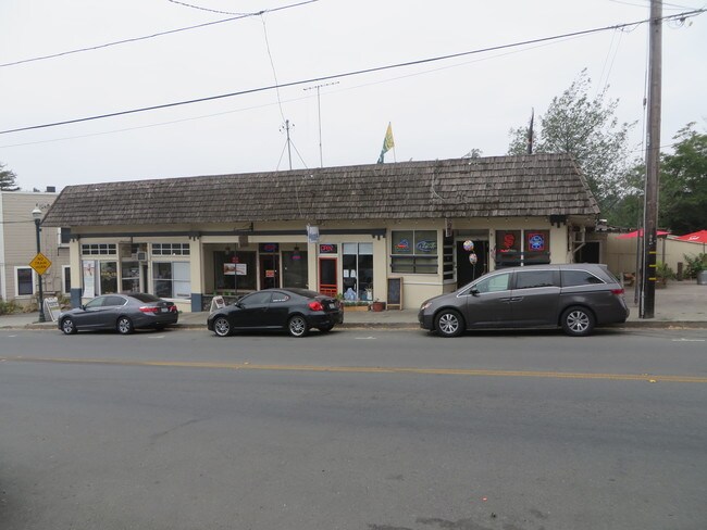
Property Record
10009 Main St, Penngrove, CA 94951


Property Detail
10009 Main St
047-181-009
UNINCORP COUNTY CA
Storesoffices
SONOMA
B and X Area of moderate flood hazard, usually the area between the limits of the 100-year and 500-year floods.
California
2025
0.19 AC
2025
Petaluma/Cotati/Rohnert
151205
North Bay/Santa Rosa
3,126 SF
Santa Rosa-Petaluma, CA
NEARBY LISTINGS FOR SALE OR LEASE
DEMOGRAPHICS near 10009 Main St
1 mile
3 mile
5 mile
2025 Total Population
1,402
34,415
104,810
2030 Population
1,289
34,166
104,673
Pop Growth 2025-2030
(8.06%)
(0.72%)
(0.13%)
Average Age
47
41
42
2025 Total Households
578
12,083
39,689
HH Growth 2025-2030
(8.13%)
(0.90%)
(0.17%)
Median Household Inc
$104,623
$109,023
$103,464
Avg Household Size
2.30
2.60
2.50
2025 Avg HH Vehicles
2.00
2.00
2.00
Median Home Value
$1,094,624
$779,820
$764,528
Median Year Built
1971
1986
1981
Nearby Places
Map Layers
Map Styles
 Street
 Aerial
Layers
 Traffic
 Biking
Places
Listings with unknown addresses are not visible on the map
- Restaurants
- Banks
- Shops
- Fitness
- Groceries
SALE & LEASE HISTORY
LISTING DATE
SALE/LEASE

Nov 16, 2020
For Sale
Jul 09, 2021
For Sale
Feb 14, 2019
For Sale
Aug 29, 2018
For Sale
Nearby Properties
Address
Land Use
TOTAL SIZE
Lot Size
Zoning
Address
Land Use
TOTAL SIZE
Lot Size
Zoning
238,800 SF
36.26 AC
Address
Land Use
TOTAL SIZE
Lot Size
Zoning
83,653 SF
1.18 AC
Address
Land Use
TOTAL SIZE
Lot Size
Zoning
63,959 SF
7.13 AC
Address
Land Use
TOTAL SIZE
Lot Size
Zoning
195,837 SF
16.32 AC
PCD
Address
Land Use
TOTAL SIZE
Lot Size
Zoning
20,728 SF
10.36 AC
ML
Address
Land Use
TOTAL SIZE
Lot Size
Zoning
5,760 SF
4.77 AC
CITYRP
Address
Land Use
TOTAL SIZE
Lot Size
Zoning
93,700 SF
6.02 AC
ML
Address
Land Use
TOTAL SIZE
Lot Size
Zoning
88,482 SF
7.29 AC
Address
Land Use
TOTAL SIZE
Lot Size
Zoning
4,154 SF
5.50 AC
CITYRP
Address
Land Use
TOTAL SIZE
Lot Size
Zoning
83,880 SF
5 AC
ML
Address
Land Use
TOTAL SIZE
Lot Size
Zoning
112,240 SF
6.30 AC
PUD
Address
Land Use
TOTAL SIZE
Lot Size
Zoning
5,500 SF
4.70 AC
Address
Land Use
TOTAL SIZE
Lot Size
Zoning
16,392 SF
6.67 AC
RM
Address
Land Use
TOTAL SIZE
Lot Size
Zoning
32,288 SF
2.59 AC
CITYPE
Address
Land Use
TOTAL SIZE
Lot Size
Zoning
71,884 SF
0.65 AC
Address
Land Use
TOTAL SIZE
Lot Size
Zoning
141,168 SF
9.44 AC
18
Address
Land Use
TOTAL SIZE
Lot Size
Zoning
54,637 SF
0.66 AC
Address
Land Use
TOTAL SIZE
Lot Size
Zoning
51,462 SF
0.90 AC
CITYPE
Address
Land Use
TOTAL SIZE
Lot Size
Zoning
35,864 SF
1.67 AC
PUD
Address
Land Use
TOTAL SIZE
Lot Size
Zoning
90,530 SF
2.61 AC
Address
Land Use
TOTAL SIZE
Lot Size
Zoning
58,299 SF
0.72 AC
Address
Land Use
TOTAL SIZE
Lot Size
Zoning
1,726 SF
1.66 AC
Address
Land Use
TOTAL SIZE
Lot Size
Zoning
6.16 AC
RM
Address
Land Use
TOTAL SIZE
Lot Size
Zoning
44,244 SF
3.44 AC
Address
Land Use
TOTAL SIZE
Lot Size
Zoning
23,022 SF
1.68 AC
Address
Land Use
TOTAL SIZE
Lot Size
Zoning
Address
Land Use
TOTAL SIZE
Lot Size
Zoning
1,260 SF
66.88 AC
LEA60
Address
Land Use
TOTAL SIZE
Lot Size
Zoning
51,264 SF
1.53 AC
CITYRP
Address
Land Use
TOTAL SIZE
Lot Size
Zoning
42,388 SF
1.11 AC
CITYPE
Address
Land Use
TOTAL SIZE
Lot Size
Zoning
57,340 SF
3.82 AC
CITYPE
The World's #1 Commercial Real Estate Marketplace
Connect with us
© 2026 CoStar Group
The information above has been obtained from sources believed reliable. While we do not doubt its accuracy we have not verified it and make no guarantee, warranty or representation about it. It is your responsibility to independently confirm its accuracy and completeness. Any projections, opinions, assumptions, or estimates used are for example only and do not represent the current or future performance of the property. The value of this transaction to you depends on tax and other factors which should be evaluated by your tax, financial, and legal advisors. You and your advisors should conduct a careful, independent investigation of the property to determine to your satisfaction the suitability of the property for your needs.