Property Record
1035 W Bristol Rd, Warminster, PA 18974

Property Detail
1035 W Bristol Rd
51-014-029
NANLYN GARDENS LOT #3 1035W BRISTOL RD
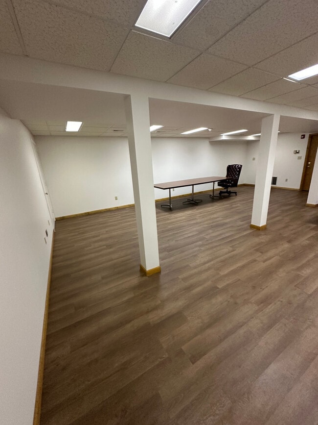
Storemultistory
Bucks
RR
Pennsylvania
B and X Area of moderate flood hazard, usually the area between the limits of the 100-year and 500-year floods.
3
2025
0.46 AC
2026
Lower Bucks County
104902
Philadelphia
5,280 SF
Philadelphia-Camden-Wilmington, PA-NJ-DE-MD
NEARBY LISTINGS FOR SALE OR LEASE
-
-
-
-
-
-
-
No Photo
-
View all Warminster listings for lease on LoopNet.com
DEMOGRAPHICS near 1035 W Bristol Rd
1 mile
3 mile
5 mile
2025 Total Population
5,366
67,656
157,404
2030 Population
5,411
68,409
159,746
Pop Growth 2025-2030
+ 0.84%
+ 1.11%
+ 1.49%
Average Age
58
45
44
2025 Total Households
2,663
26,657
60,417
HH Growth 2025-2030
+ 0.49%
+ 1.27%
+ 1.67%
Median Household Inc
$95,213
$105,239
$109,453
Avg Household Size
1.90
2.50
2.50
2025 Avg HH Vehicles
1.00
2.00
2.00
Median Home Value
$485,660
$447,341
$463,689
Median Year Built
2000
1972
1973
Nearby Places
Map Layers
Map Styles
 Street
 Aerial
Layers
 Traffic
 Biking
Places
Listings with unknown addresses are not visible on the map
- Restaurants
- Banks
- Shops
- Fitness
- Groceries
PUBLIC TRANSPORTATION
COMMUTER RAIL
Warminster (R2 - Southeastern Pennsylvania Transportation Authority Regional Rail (SEPTA Regional Rail))
Drive
Walk
Distance
Warminster (R2 - Southeastern Pennsylvania Transportation Authority Regional Rail (SEPTA Regional Rail))
5 min
2.8 mi
Hatboro (R2 - Southeastern Pennsylvania Transportation Authority Regional Rail (SEPTA Regional Rail))
Drive
Walk
Distance
Hatboro (R2 - Southeastern Pennsylvania Transportation Authority Regional Rail (SEPTA Regional Rail))
8 min
4.1 mi
AIRPORT
Trenton Mercer
Drive
Walk
Distance
Trenton Mercer
34 min
20.0 mi
Philadelphia International
Drive
Walk
Distance
Philadelphia International
59 min
35.1 mi
Freight Ports
Port of Philadelphia
Drive
Walk
Distance
Port of Philadelphia
36 min
20.8 mi
SALE & LEASE HISTORY
LISTING DATE
SALE/LEASE

Nov 18, 2025
For Lease
Mar 17, 2025
For Lease
Jan 20, 2020
For Lease
Jan 12, 2024
For Lease
Feb 12, 2019
For Sale
Nearby Properties
Address
Land Use
TOTAL SIZE
Lot Size
Zoning
Address
Land Use
TOTAL SIZE
Lot Size
Zoning
256,810 SF
36.13 AC
C
Address
Land Use
TOTAL SIZE
Lot Size
Zoning
34,588 SF
4 AC
C2
Address
Land Use
TOTAL SIZE
Lot Size
Zoning
58,318 SF
20.12 AC
R4
Address
Land Use
TOTAL SIZE
Lot Size
Zoning
29,308 SF
15.96 AC
I
Address
Land Use
TOTAL SIZE
Lot Size
Zoning
322,194 SF
37.79 AC
Address
Land Use
TOTAL SIZE
Lot Size
Zoning
72,852 SF
21.24 AC
R2
Address
Land Use
TOTAL SIZE
Lot Size
Zoning
59,133 SF
6.67 AC
LC3
Address
Land Use
TOTAL SIZE
Lot Size
Zoning
116,399 SF
6.48 AC
GC2
Address
Land Use
TOTAL SIZE
Lot Size
Zoning
89,344 SF
9.69 AC
R2
Address
Land Use
TOTAL SIZE
Lot Size
Zoning
25,021 SF
10.82 AC
I
Address
Land Use
TOTAL SIZE
Lot Size
Zoning
249,396 SF
18.70 AC
I
Address
Land Use
TOTAL SIZE
Lot Size
Zoning
125,391 SF
14.03 AC
OBD
Address
Land Use
TOTAL SIZE
Lot Size
Zoning
54,890 SF
9.37 AC
I2
Address
Land Use
TOTAL SIZE
Lot Size
Zoning
170,644 SF
26.62 AC
CBD
Address
Land Use
TOTAL SIZE
Lot Size
Zoning
4,687 SF
4.15 AC
GC2
Address
Land Use
TOTAL SIZE
Lot Size
Zoning
97,622 SF
12.86 AC
CBD
Address
Land Use
TOTAL SIZE
Lot Size
Zoning
29,485 SF
2.40 AC
GC2
Address
Land Use
TOTAL SIZE
Lot Size
Zoning
140,444 SF
15.31 AC
I
Address
Land Use
TOTAL SIZE
Lot Size
Zoning
73,663 SF
14.84 AC
MF-1
Address
Land Use
TOTAL SIZE
Lot Size
Zoning
43,392 SF
2.90 AC
R4
Address
Land Use
TOTAL SIZE
Lot Size
Zoning
25,347 SF
1.32 AC
R2
Address
Land Use
TOTAL SIZE
Lot Size
Zoning
104,516 SF
13.98 AC
SC
Address
Land Use
TOTAL SIZE
Lot Size
Zoning
1,352,594 SF
11.98 AC
CBD
Address
Land Use
TOTAL SIZE
Lot Size
Zoning
89,417 SF
13.30 AC
CR
Address
Land Use
TOTAL SIZE
Lot Size
Zoning
154,472 SF
17.90 AC
CBD
Address
Land Use
TOTAL SIZE
Lot Size
Zoning
3,669 SF
13.40 AC
C
Address
Land Use
TOTAL SIZE
Lot Size
Zoning
64,659 SF
5.20 AC
I2
Address
Land Use
TOTAL SIZE
Lot Size
Zoning
106,852 SF
9.51 AC
R2
Address
Land Use
TOTAL SIZE
Lot Size
Zoning
56,530 SF
4.70 AC
I2
Address
Land Use
TOTAL SIZE
Lot Size
Zoning
25,188 SF
8.51 AC
R2
The World's #1 Commercial Real Estate Marketplace
Connect with us
© 2026 CoStar Group
The information above has been obtained from sources believed reliable. While we do not doubt its accuracy we have not verified it and make no guarantee, warranty or representation about it. It is your responsibility to independently confirm its accuracy and completeness. Any projections, opinions, assumptions, or estimates used are for example only and do not represent the current or future performance of the property. The value of this transaction to you depends on tax and other factors which should be evaluated by your tax, financial, and legal advisors. You and your advisors should conduct a careful, independent investigation of the property to determine to your satisfaction the suitability of the property for your needs.