Property Record
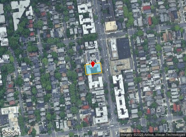
1430 Ocean Ave, Brooklyn, NY 11230


NEARBY LISTINGS FOR SALE OR LEASE
Property Detail
1430 Ocean Ave
06712-0068
DOCID-2018070500603004ADDL BLK-LOT: 6712-73
Multifamilydwelling
Kings
X
New York
3604970214F
68
2024
0.35 AC
2025
Midwood
076200
Long Island (New York)
38,250 SF
New York-Jersey City-White Plains, NY-NJ
DEMOGRAPHICS near 1430 Ocean Ave
1 mile
3 mile
5 mile
2024 Total Population
150,137
1,102,438
2,131,192
2029 Population
143,339
1,023,121
1,990,236
Pop Growth 2024-2029
(4.53%)
(7.19%)
(6.61%)
Average Age
39
40
39
2024 Total Households
51,850
375,985
779,162
HH Growth 2024-2029
(4.78%)
(7.53%)
(6.92%)
Median Household Inc
$69,564
$66,651
$67,549
Avg Household Size
2.80
2.80
2.60
2024 Avg HH Vehicles
1.00
1.00
1.00
Median Home Value
$802,504
$799,301
$825,118
Median Year Built
1948
1947
1948
Nearby Places
Map Layers
Map Styles
 Street
 Aerial
Transit
 Traffic
 Biking
Places
Listings with unknown addresses are not visible on the map
- Restaurants
- Banks
- Shops
- Fitness
- Groceries
PUBLIC TRANSPORTATION
TRANSIT/SUBWAY
Avenue J (Q - New York MTA Subway (The Subway))
Drive
Walk
Distance
Avenue J (Q - New York MTA Subway (The Subway))
1 min
7 min
0.3 mi
Avenue H (Q - New York MTA Subway (The Subway))
Drive
Walk
Distance
Avenue H (Q - New York MTA Subway (The Subway))
2 min
9 min
0.4 mi
Brooklyn College-Flatbush Avenue (2 - New York MTA Subway (The Subway), 5 - New York MTA Subway (The Subway))
Drive
Walk
Distance
Brooklyn College-Flatbush Avenue (2 - New York MTA Subway (The Subway), 5 - New York MTA Subway (The Subway))
3 min
16 min
0.8 mi
Avenue M (Q - New York MTA Subway (The Subway))
Drive
Walk
Distance
Avenue M (Q - New York MTA Subway (The Subway))
2 min
16 min
0.8 mi
Newkirk Avenue (B,Q Line) (B - New York MTA Subway (The Subway), Q - New York MTA Subway (The Subway))
Drive
Walk
Distance
Newkirk Avenue (B,Q Line) (B - New York MTA Subway (The Subway), Q - New York MTA Subway (The Subway))
3 min
16 min
0.8 mi
COMMUTER RAIL
Nostrand Avenue Station (Far Rockaway Branch - Long Island Rail Road, Hempstead Branch - Long Island Rail Road, Long Beach Branch - Long Island Rail Road, West Hempstead Branch - Long Island Rail Road)
Drive
Walk
Distance
Nostrand Avenue Station (Far Rockaway Branch - Long Island Rail Road, Hempstead Branch - Long Island Rail Road, Long Beach Branch - Long Island Rail Road, West Hempstead Branch - Long Island Rail Road)
13 min
4.3 mi
Drive
Walk
Distance
12 min
4.3 mi
AIRPORT
John F Kennedy International
Drive
Walk
Distance
John F Kennedy International
23 min
12.2 mi
LaGuardia
Drive
Walk
Distance
LaGuardia
29 min
13.4 mi
Newark Liberty International
Drive
Walk
Distance
Newark Liberty International
36 min
20.4 mi
Freight Ports
NY - Red Hook Container Terminal
Drive
Walk
Distance
NY - Red Hook Container Terminal
12 min
5.7 mi
Nearby Properties
Address
Land Use
TOTAL SIZE
Lot Size
Zoning
Address
Land Use
TOTAL SIZE
Lot Size
Zoning
92,440 SF
466.23 AC
R5
Address
Land Use
TOTAL SIZE
Lot Size
Zoning
1,281,577 SF
20.78 AC
M3-1
Address
Land Use
TOTAL SIZE
Lot Size
Zoning
1,503,150 SF
20.47 AC
R5
Address
Land Use
TOTAL SIZE
Lot Size
Zoning
393.54 AC
PARK
Address
Land Use
TOTAL SIZE
Lot Size
Zoning
1,078,317 SF
10.45 AC
R4
Address
Land Use
TOTAL SIZE
Lot Size
Zoning
965,600 SF
6.65 AC
R5
Address
Land Use
TOTAL SIZE
Lot Size
Zoning
1,061,228 SF
8.86 AC
R5
Address
Land Use
TOTAL SIZE
Lot Size
Zoning
1,073,920 SF
16.53 AC
R6
Address
Land Use
TOTAL SIZE
Lot Size
Zoning
561,945 SF
11.58 AC
R6
Address
Land Use
TOTAL SIZE
Lot Size
Zoning
61.60 AC
PARK
Address
Land Use
TOTAL SIZE
Lot Size
Zoning
335,800 SF
1.51 AC
R6
Address
Land Use
TOTAL SIZE
Lot Size
Zoning
785,450 SF
14.22 AC
R6
Address
Land Use
TOTAL SIZE
Lot Size
Zoning
393,092 SF
1.07 AC
R8A
Address
Land Use
TOTAL SIZE
Lot Size
Zoning
371,139 SF
3.22 AC
R5
Address
Land Use
TOTAL SIZE
Lot Size
Zoning
229,456 SF
4.15 AC
M1-1
Address
Land Use
TOTAL SIZE
Lot Size
Zoning
635,994 SF
17.90 AC
R5
Address
Land Use
TOTAL SIZE
Lot Size
Zoning
241,735 SF
1.99 AC
C8-4
Address
Land Use
TOTAL SIZE
Lot Size
Zoning
308,757 SF
0.74 AC
R7-1
Address
Land Use
TOTAL SIZE
Lot Size
Zoning
689,000 SF
3.44 AC
R6
Address
Land Use
TOTAL SIZE
Lot Size
Zoning
689,000 SF
3.44 AC
R6
Address
Land Use
TOTAL SIZE
Lot Size
Zoning
689,000 SF
3.44 AC
R6
Address
Land Use
TOTAL SIZE
Lot Size
Zoning
689,000 SF
3.44 AC
R6
Address
Land Use
TOTAL SIZE
Lot Size
Zoning
689,000 SF
3.44 AC
R6
Address
Land Use
TOTAL SIZE
Lot Size
Zoning
689,000 SF
3.44 AC
R6
Address
Land Use
TOTAL SIZE
Lot Size
Zoning
689,000 SF
3.44 AC
R6
Address
Land Use
TOTAL SIZE
Lot Size
Zoning
689,000 SF
3.44 AC
R6
Address
Land Use
TOTAL SIZE
Lot Size
Zoning
689,000 SF
3.44 AC
R6
Address
Land Use
TOTAL SIZE
Lot Size
Zoning
689,000 SF
3.44 AC
R6
Address
Land Use
TOTAL SIZE
Lot Size
Zoning
689,000 SF
3.44 AC
R6
Address
Land Use
TOTAL SIZE
Lot Size
Zoning
689,000 SF
3.44 AC
R6
The World's #1 Commercial Real Estate Marketplace
Connect with us
© 2026 CoStar Group
The information above has been obtained from sources believed reliable. While we do not doubt its accuracy we have not verified it and make no guarantee, warranty or representation about it. It is your responsibility to independently confirm its accuracy and completeness. Any projections, opinions, assumptions, or estimates used are for example only and do not represent the current or future performance of the property. The value of this transaction to you depends on tax and other factors which should be evaluated by your tax, financial, and legal advisors. You and your advisors should conduct a careful, independent investigation of the property to determine to your satisfaction the suitability of the property for your needs.