Property Record
2079 E Main St, Spartanburg, SC 29307


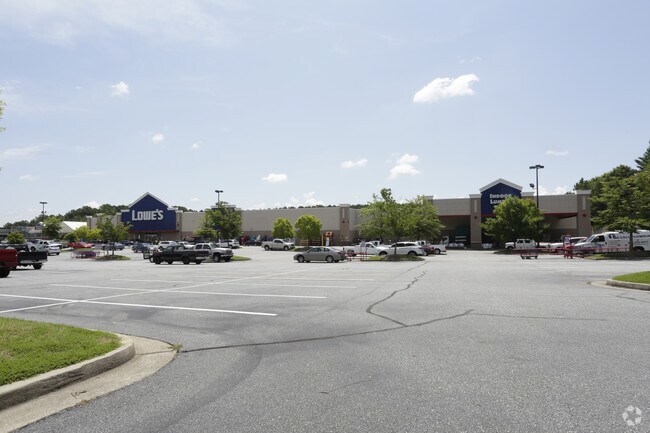
Property Detail
2079 E Main St
7-09-00-017.03
S SIDE U S 29 & W OF WEBBER RD DB 58Z-785 ALSO DB 59P-338 PB 156-552
Commercialnec
Spartanburg
B and X Area of moderate flood hazard, usually the area between the limits of the 100-year and 500-year floods.
South Carolina
0
11.23 AC
2025
East Side
021303
Greenville/Spartanburg
156,683 SF
Spartanburg, SC
NEARBY LISTINGS FOR SALE OR LEASE
DEMOGRAPHICS near 2079 E Main St
1 mile
3 mile
5 mile
2025 Total Population
5,382
33,156
76,790
2030 Population
5,955
36,776
85,751
Pop Growth 2025-2030
+ 10.65%
+ 10.92%
+ 11.67%
Average Age
42
41
40
2025 Total Households
2,471
14,288
31,493
HH Growth 2025-2030
+ 10.76%
+ 11.18%
+ 11.88%
Median Household Inc
$60,527
$58,611
$51,355
Avg Household Size
2.10
2.20
2.30
2025 Avg HH Vehicles
2.00
2.00
2.00
Median Home Value
$270,161
$244,486
$202,919
Median Year Built
1978
1973
1974
Nearby Places
Map Layers
Map Styles
 Street
 Aerial
Layers
 Traffic
 Biking
Places
Listings with unknown addresses are not visible on the map
- Restaurants
- Banks
- Shops
- Fitness
- Groceries
PUBLIC TRANSPORTATION
COMMUTER RAIL
Spartanburg Amtrak Station (Crescent - Amtrak)
Drive
Walk
Distance
Spartanburg Amtrak Station (Crescent - Amtrak)
9 min
3.6 mi
AIRPORT
Greenville Spartanburg International
Drive
Walk
Distance
Greenville Spartanburg International
37 min
24.4 mi
Freight Ports
North Charleston Terminal
Drive
Walk
Distance
North Charleston Terminal
228 min
197.3 mi
Nearby Properties
Address
Land Use
TOTAL SIZE
Lot Size
Zoning
Address
Land Use
TOTAL SIZE
Lot Size
Zoning
9,312 SF
9.06 AC
Address
Land Use
TOTAL SIZE
Lot Size
Zoning
5,672 SF
10.20 AC
Address
Land Use
TOTAL SIZE
Lot Size
Zoning
15,108 SF
16.27 AC
Address
Land Use
TOTAL SIZE
Lot Size
Zoning
18,600 SF
3.41 AC
Address
Land Use
TOTAL SIZE
Lot Size
Zoning
106,100 SF
24.56 AC
Address
Land Use
TOTAL SIZE
Lot Size
Zoning
6,517 SF
6.68 AC
Address
Land Use
TOTAL SIZE
Lot Size
Zoning
44,301 SF
7.47 AC
Address
Land Use
TOTAL SIZE
Lot Size
Zoning
31,913 SF
1.03 AC
Address
Land Use
TOTAL SIZE
Lot Size
Zoning
9,146 SF
51.62 AC
Address
Land Use
TOTAL SIZE
Lot Size
Zoning
6,798 SF
31.44 AC
Address
Land Use
TOTAL SIZE
Lot Size
Zoning
155,031 SF
12.58 AC
Address
Land Use
TOTAL SIZE
Lot Size
Zoning
19,796 SF
3.56 AC
Address
Land Use
TOTAL SIZE
Lot Size
Zoning
3,648 SF
20.77 AC
Address
Land Use
TOTAL SIZE
Lot Size
Zoning
18,443 SF
0.58 AC
Address
Land Use
TOTAL SIZE
Lot Size
Zoning
106,389 SF
3.15 AC
Address
Land Use
TOTAL SIZE
Lot Size
Zoning
11,402 SF
7.21 AC
Address
Land Use
TOTAL SIZE
Lot Size
Zoning
214,026 SF
29.83 AC
Address
Land Use
TOTAL SIZE
Lot Size
Zoning
27,608 SF
17.61 AC
Address
Land Use
TOTAL SIZE
Lot Size
Zoning
3,363 SF
8.10 AC
Address
Land Use
TOTAL SIZE
Lot Size
Zoning
173,817 SF
0.85 AC
Address
Land Use
TOTAL SIZE
Lot Size
Zoning
Address
Land Use
TOTAL SIZE
Lot Size
Zoning
7,570 SF
24.50 AC
Address
Land Use
TOTAL SIZE
Lot Size
Zoning
6,454 SF
0.70 AC
Address
Land Use
TOTAL SIZE
Lot Size
Zoning
26,086 SF
12.95 AC
Address
Land Use
TOTAL SIZE
Lot Size
Zoning
77,960 SF
2.44 AC
Address
Land Use
TOTAL SIZE
Lot Size
Zoning
3,254 SF
0.83 AC
Address
Land Use
TOTAL SIZE
Lot Size
Zoning
27,579 SF
3.08 AC
Address
Land Use
TOTAL SIZE
Lot Size
Zoning
67,704 SF
0.50 AC
Address
Land Use
TOTAL SIZE
Lot Size
Zoning
119,443 SF
13.64 AC
The World's #1 Commercial Real Estate Marketplace
Connect with us
© 2026 CoStar Group
The information above has been obtained from sources believed reliable. While we do not doubt its accuracy we have not verified it and make no guarantee, warranty or representation about it. It is your responsibility to independently confirm its accuracy and completeness. Any projections, opinions, assumptions, or estimates used are for example only and do not represent the current or future performance of the property. The value of this transaction to you depends on tax and other factors which should be evaluated by your tax, financial, and legal advisors. You and your advisors should conduct a careful, independent investigation of the property to determine to your satisfaction the suitability of the property for your needs.