Property Record
227 E 51St St, Chicago, IL 60615
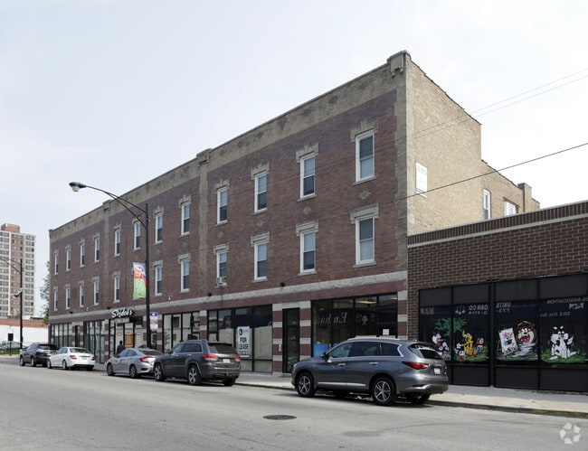


Property Detail
227 E 51St St
20-10-304-011-0000
(SUBDIVISION) BY E (BAYLEY) OF N20ACS OF NE SW SEC 10-38-14
Commercialnec
Cook
B3-3
Illinois
B and X Area of moderate flood hazard, usually the area between the limits of the 100-year and 500-year floods.
1,2
2023
0.30 AC
2025
Washington Park
836100
Chicago
25,524 SF
Chicago-Naperville-Elgin, IL-IN
NEARBY LISTINGS FOR SALE OR LEASE
DEMOGRAPHICS near 227 E 51St St
1 mile
3 mile
5 mile
2025 Total Population
32,711
263,411
664,808
2030 Population
33,153
262,686
656,926
Pop Growth 2025-2030
+ 1.35%
(0.28%)
(1.19%)
Average Age
38
38
38
2025 Total Households
14,627
111,225
270,369
HH Growth 2025-2030
+ 1.03%
(0.28%)
(0.95%)
Median Household Inc
$44,654
$47,257
$53,448
Avg Household Size
2.20
2.20
2.30
2025 Avg HH Vehicles
1.00
1.00
1.00
Median Home Value
$303,166
$286,104
$267,860
Median Year Built
1957
1952
1950
Nearby Places
Map Layers
Map Styles
 Street
 Aerial
Layers
 Traffic
 Biking
Places
Listings with unknown addresses are not visible on the map
- Restaurants
- Banks
- Shops
- Fitness
- Groceries
PUBLIC TRANSPORTATION
TRANSIT/SUBWAY
51St Street Station (Green Line - Chicago Transit Authority "L" Trains (The "L"))
Drive
Walk
Distance
51St Street Station (Green Line - Chicago Transit Authority "L" Trains (The "L"))
0 min
1 min
0.1 mi
Garfield Station (Green Line) (Green Line - Chicago Transit Authority "L" Trains (The "L"))
Drive
Walk
Distance
Garfield Station (Green Line) (Green Line - Chicago Transit Authority "L" Trains (The "L"))
2 min
11 min
0.6 mi
47Th Street Station (Green Line) (Green Line - Chicago Transit Authority "L" Trains (The "L"))
Drive
Walk
Distance
47Th Street Station (Green Line) (Green Line - Chicago Transit Authority "L" Trains (The "L"))
1 min
11 min
0.6 mi
COMMUTER RAIL
53Rd Street Hyde Park Station (Metra Electric Line - Northeast Illinois Regional Commuter Railroad (Metra))
Drive
Walk
Distance
53Rd Street Hyde Park Station (Metra Electric Line - Northeast Illinois Regional Commuter Railroad (Metra))
4 min
1.9 mi
47Th Street Station (Metra Electric Line - Northeast Illinois Regional Commuter Railroad (Metra))
Drive
Walk
Distance
47Th Street Station (Metra Electric Line - Northeast Illinois Regional Commuter Railroad (Metra))
4 min
2.0 mi
AIRPORT
Chicago Midway International
Drive
Walk
Distance
Chicago Midway International
14 min
7.4 mi
Chicago O'Hare International
Drive
Walk
Distance
Chicago O'Hare International
37 min
23.5 mi
Freight Ports
Port Milwaukee
Drive
Walk
Distance
Port Milwaukee
115 min
91.7 mi
SALE & LEASE HISTORY
LISTING DATE
SALE/LEASE

Sep 15, 2020
For Lease
Oct 31, 2024
For Lease
Oct 15, 2019
For Sale
Nov 14, 2016
For Sale
Jun 17, 2019
For Sale
Jan 16, 2023
For Sale
Dec 01, 2021
For Lease
Apr 25, 2024
For Sale
Nearby Properties
Address
Land Use
TOTAL SIZE
Lot Size
Zoning
Address
Land Use
TOTAL SIZE
Lot Size
Zoning
Address
Land Use
TOTAL SIZE
Lot Size
Zoning
0.28 AC
PD 38
Address
Land Use
TOTAL SIZE
Lot Size
Zoning
460,333 SF
2.62 AC
C2-3
Address
Land Use
TOTAL SIZE
Lot Size
Zoning
136,720 SF
0.54 AC
PD 1
Address
Land Use
TOTAL SIZE
Lot Size
Zoning
1,302,463 SF
3.14 AC
PD 1211
Address
Land Use
TOTAL SIZE
Lot Size
Zoning
3.14 AC
PD 1211
Address
Land Use
TOTAL SIZE
Lot Size
Zoning
0.91 AC
PD 1177
Address
Land Use
TOTAL SIZE
Lot Size
Zoning
250,040 SF
15.70 AC
PD 1169
Address
Land Use
TOTAL SIZE
Lot Size
Zoning
2.65 AC
PD 38
Address
Land Use
TOTAL SIZE
Lot Size
Zoning
10 AC
PD 1169
Address
Land Use
TOTAL SIZE
Lot Size
Zoning
8.54 AC
PD 1169
Address
Land Use
TOTAL SIZE
Lot Size
Zoning
1,687,020 SF
10.25 AC
PD 1169
Address
Land Use
TOTAL SIZE
Lot Size
Zoning
475,000 SF
14.01 AC
PMD 8
Address
Land Use
TOTAL SIZE
Lot Size
Zoning
304,685 SF
1.11 AC
PD 1218
Address
Land Use
TOTAL SIZE
Lot Size
Zoning
0.27 AC
PD 1
Address
Land Use
TOTAL SIZE
Lot Size
Zoning
260,481 SF
12.93 AC
PD 463
Address
Land Use
TOTAL SIZE
Lot Size
Zoning
283,180 SF
1.41 AC
M2-3
Address
Land Use
TOTAL SIZE
Lot Size
Zoning
7,200 SF
0.22 AC
B3-3
Address
Land Use
TOTAL SIZE
Lot Size
Zoning
156,800 SF
2.65 AC
PD 38
Address
Land Use
TOTAL SIZE
Lot Size
Zoning
PD 43
Address
Land Use
TOTAL SIZE
Lot Size
Zoning
Address
Land Use
TOTAL SIZE
Lot Size
Zoning
451,349 SF
1.62 AC
PD 1062
Address
Land Use
TOTAL SIZE
Lot Size
Zoning
0.29 AC
PD 1548
Address
Land Use
TOTAL SIZE
Lot Size
Zoning
794,288 SF
6.53 AC
PD 41
Address
Land Use
TOTAL SIZE
Lot Size
Zoning
0.73 AC
PD 1072
Address
Land Use
TOTAL SIZE
Lot Size
Zoning
1.65 AC
B2-3
Address
Land Use
TOTAL SIZE
Lot Size
Zoning
PD 43
Address
Land Use
TOTAL SIZE
Lot Size
Zoning
769,600 SF
PD 282
Address
Land Use
TOTAL SIZE
Lot Size
Zoning
869,660 SF
0.86 AC
PMD 8
Address
Land Use
TOTAL SIZE
Lot Size
Zoning
78,000 SF
0.62 AC
RM-5
The World's #1 Commercial Real Estate Marketplace
Connect with us
© 2026 CoStar Group
The information above has been obtained from sources believed reliable. While we do not doubt its accuracy we have not verified it and make no guarantee, warranty or representation about it. It is your responsibility to independently confirm its accuracy and completeness. Any projections, opinions, assumptions, or estimates used are for example only and do not represent the current or future performance of the property. The value of this transaction to you depends on tax and other factors which should be evaluated by your tax, financial, and legal advisors. You and your advisors should conduct a careful, independent investigation of the property to determine to your satisfaction the suitability of the property for your needs.