Property Record
5895 Lowe Ave, Marysville, CA 95901
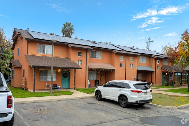

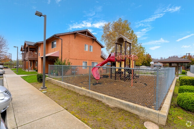
Property Detail
5895 Lowe Ave
Yuba City, CA
PTN LOT 21 TR 12 YUBA GARDENS PCL A LLA 91-36
020-160-055-000
YUBA
Apartment
California
R-02
21
0
2.98 AC
2025
Yuba County
040302
Sacramento
41,003 SF
NEARBY LISTINGS FOR SALE OR LEASE
DEMOGRAPHICS near 5895 Lowe Ave
1 mile
3 mile
5 mile
2025 Total Population
12,586
50,148
119,000
2030 Population
13,417
53,222
122,621
Pop Growth 2025-2030
+ 6.60%
+ 6.13%
+ 3.04%
Average Age
34
36
37
2025 Total Households
3,869
16,458
39,107
HH Growth 2025-2030
+ 6.88%
+ 6.47%
+ 3.16%
Median Household Inc
$68,445
$68,348
$72,373
Avg Household Size
3.20
2.90
2.90
2025 Avg HH Vehicles
2.00
2.00
2.00
Median Home Value
$354,005
$344,828
$382,116
Median Year Built
1989
1978
1980
Nearby Places
Map Layers
Map Styles
 Street
 Aerial
Layers
 Traffic
 Biking
Places
Listings with unknown addresses are not visible on the map
- Restaurants
- Banks
- Shops
- Fitness
- Groceries
PUBLIC TRANSPORTATION
AIRPORT
Sacramento International
Drive
Walk
Distance
Sacramento International
49 min
38.1 mi
Freight Ports
Port of Stockton
Drive
Walk
Distance
Port of Stockton
101 min
86.5 mi
Nearby Properties
Address
Land Use
TOTAL SIZE
Lot Size
Zoning
Address
Land Use
TOTAL SIZE
Lot Size
Zoning
18,410 SF
0.77 AC
C-3
Address
Land Use
TOTAL SIZE
Lot Size
Zoning
30,734 SF
1.38 AC
C-3
Address
Land Use
TOTAL SIZE
Lot Size
Zoning
154,480 SF
13.44 AC
C
Address
Land Use
TOTAL SIZE
Lot Size
Zoning
98,830 SF
0.40 AC
C-3
Address
Land Use
TOTAL SIZE
Lot Size
Zoning
48,348 SF
3.25 AC
Address
Land Use
TOTAL SIZE
Lot Size
Zoning
51,371 SF
10.13 AC
Address
Land Use
TOTAL SIZE
Lot Size
Zoning
107,749 SF
9.33 AC
C
Address
Land Use
TOTAL SIZE
Lot Size
Zoning
203,353 SF
11.49 AC
C
Address
Land Use
TOTAL SIZE
Lot Size
Zoning
55,702 SF
3.16 AC
Address
Land Use
TOTAL SIZE
Lot Size
Zoning
66,913 SF
18.23 AC
AE-40
Address
Land Use
TOTAL SIZE
Lot Size
Zoning
Address
Land Use
TOTAL SIZE
Lot Size
Zoning
1.67 AC
Address
Land Use
TOTAL SIZE
Lot Size
Zoning
2.53 AC
Address
Land Use
TOTAL SIZE
Lot Size
Zoning
1,800 SF
6 AC
M-1
Address
Land Use
TOTAL SIZE
Lot Size
Zoning
79,817 SF
1.64 AC
M-1
Address
Land Use
TOTAL SIZE
Lot Size
Zoning
63,320 SF
3.88 AC
R-03
Address
Land Use
TOTAL SIZE
Lot Size
Zoning
19,950 SF
7.66 AC
M-1
Address
Land Use
TOTAL SIZE
Lot Size
Zoning
40,045 SF
1.38 AC
C
Address
Land Use
TOTAL SIZE
Lot Size
Zoning
47,686 SF
2 AC
R2
Address
Land Use
TOTAL SIZE
Lot Size
Zoning
41,279 SF
5.18 AC
Address
Land Use
TOTAL SIZE
Lot Size
Zoning
4.79 AC
R-2
Address
Land Use
TOTAL SIZE
Lot Size
Zoning
41,920 SF
2.41 AC
R-4
Address
Land Use
TOTAL SIZE
Lot Size
Zoning
105,352 SF
4.90 AC
PD
Address
Land Use
TOTAL SIZE
Lot Size
Zoning
2.57 AC
R-4
Address
Land Use
TOTAL SIZE
Lot Size
Zoning
119,880 SF
6.53 AC
PD
Address
Land Use
TOTAL SIZE
Lot Size
Zoning
21,746 SF
2.18 AC
Address
Land Use
TOTAL SIZE
Lot Size
Zoning
53,952 SF
4.14 AC
R-02
Address
Land Use
TOTAL SIZE
Lot Size
Zoning
417,732 SF
5.45 AC
Address
Land Use
TOTAL SIZE
Lot Size
Zoning
28,943 SF
2.45 AC
C-3
Address
Land Use
TOTAL SIZE
Lot Size
Zoning
124,835 SF
6.72 AC
C
The World's #1 Commercial Real Estate Marketplace
Connect with us
© 2026 CoStar Group
The information above has been obtained from sources believed reliable. While we do not doubt its accuracy we have not verified it and make no guarantee, warranty or representation about it. It is your responsibility to independently confirm its accuracy and completeness. Any projections, opinions, assumptions, or estimates used are for example only and do not represent the current or future performance of the property. The value of this transaction to you depends on tax and other factors which should be evaluated by your tax, financial, and legal advisors. You and your advisors should conduct a careful, independent investigation of the property to determine to your satisfaction the suitability of the property for your needs.