Property Record
Na Tilson Pl, Staten Island, NY 10305

NEARBY LISTINGS FOR SALE OR LEASE
Property Detail
Na Tilson Pl
02846-0025
Staten Island
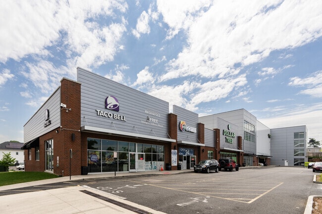
Warehouse
New York
X
25
3604970327F
0.80 AC
2024
Staten Island
2025
Long Island (New York)
006400
New York-Jersey City-White Plains, NY-NJ
102,201 SF
DEMOGRAPHICS near Na Tilson Pl
1 mile
3 mile
5 mile
2024 Total Population
46,932
261,984
865,299
2029 Population
46,527
255,375
817,700
Pop Growth 2024-2029
(0.86%)
(2.52%)
(5.50%)
Average Age
39
41
39
2024 Total Households
16,009
97,294
291,411
HH Growth 2024-2029
(0.81%)
(2.84%)
(5.63%)
Median Household Inc
$54,980
$78,886
$68,468
Avg Household Size
2.80
2.60
2.80
2024 Avg HH Vehicles
1.00
1.00
1.00
Median Home Value
$562,191
$689,344
$701,036
Median Year Built
1971
1954
1950
Nearby Places
Map Layers
Map Styles
 Street
 Aerial
Transit
 Traffic
 Biking
Places
Listings with unknown addresses are not visible on the map
- Restaurants
- Banks
- Shops
- Fitness
- Groceries
PUBLIC TRANSPORTATION
COMMUTER RAIL
Clifton (Staten Island Railway - New York MTA Subway (The Subway))
Drive
Walk
Distance
Clifton (Staten Island Railway - New York MTA Subway (The Subway))
2 min
12 min
0.6 mi
Stapleton (Staten Island Railway - New York MTA Subway (The Subway))
Drive
Walk
Distance
Stapleton (Staten Island Railway - New York MTA Subway (The Subway))
4 min
1.3 mi
AIRPORT
Newark Liberty International
Drive
Walk
Distance
Newark Liberty International
26 min
16.7 mi
LaGuardia
Drive
Walk
Distance
LaGuardia
36 min
20.8 mi
John F Kennedy International
Drive
Walk
Distance
John F Kennedy International
35 min
23.5 mi
Freight Ports
GCT Bayonne
Drive
Walk
Distance
GCT Bayonne
23 min
12.6 mi
SALE & LEASE HISTORY
LISTING DATE
SALE/LEASE

Aug 21, 2017
For Lease
Nearby Properties
Address
Land Use
TOTAL SIZE
Lot Size
Zoning
Address
Land Use
TOTAL SIZE
Lot Size
Zoning
1,524,659 SF
170.96 AC
R4
Address
Land Use
TOTAL SIZE
Lot Size
Zoning
640,077 SF
19.34 AC
R3-1
Address
Land Use
TOTAL SIZE
Lot Size
Zoning
340,068 SF
0.58 AC
C2-8
Address
Land Use
TOTAL SIZE
Lot Size
Zoning
340,068 SF
0.58 AC
C2-8
Address
Land Use
TOTAL SIZE
Lot Size
Zoning
115.33 AC
IH
Address
Land Use
TOTAL SIZE
Lot Size
Zoning
135,000 SF
117.71 AC
PARK
Address
Land Use
TOTAL SIZE
Lot Size
Zoning
236,591 SF
207.66 AC
R3-2
Address
Land Use
TOTAL SIZE
Lot Size
Zoning
538,240 SF
12.08 AC
R2
Address
Land Use
TOTAL SIZE
Lot Size
Zoning
286,000 SF
12.63 AC
PARK
Address
Land Use
TOTAL SIZE
Lot Size
Zoning
521,405 SF
52.79 AC
R3-1
Address
Land Use
TOTAL SIZE
Lot Size
Zoning
418,000 SF
0.78 AC
R10A
Address
Land Use
TOTAL SIZE
Lot Size
Zoning
111,000 SF
186.03 AC
PARK
Address
Land Use
TOTAL SIZE
Lot Size
Zoning
48.68 AC
IH
Address
Land Use
TOTAL SIZE
Lot Size
Zoning
310,068 SF
0.58 AC
C2-8
Address
Land Use
TOTAL SIZE
Lot Size
Zoning
492,962 SF
8.12 AC
M1-1
Address
Land Use
TOTAL SIZE
Lot Size
Zoning
19.26 AC
IH
Address
Land Use
TOTAL SIZE
Lot Size
Zoning
183,839 SF
9.74 AC
PARK
Address
Land Use
TOTAL SIZE
Lot Size
Zoning
112,900 SF
0.22 AC
R10A
Address
Land Use
TOTAL SIZE
Lot Size
Zoning
369,046 SF
2.11 AC
R6A
Address
Land Use
TOTAL SIZE
Lot Size
Zoning
369,046 SF
2.11 AC
R6A
Address
Land Use
TOTAL SIZE
Lot Size
Zoning
369,046 SF
2.11 AC
R6A
Address
Land Use
TOTAL SIZE
Lot Size
Zoning
369,046 SF
2.11 AC
R6A
Address
Land Use
TOTAL SIZE
Lot Size
Zoning
369,046 SF
2.11 AC
R6A
Address
Land Use
TOTAL SIZE
Lot Size
Zoning
369,046 SF
2.11 AC
R6A
Address
Land Use
TOTAL SIZE
Lot Size
Zoning
369,046 SF
2.11 AC
R6A
Address
Land Use
TOTAL SIZE
Lot Size
Zoning
369,046 SF
2.11 AC
R6A
Address
Land Use
TOTAL SIZE
Lot Size
Zoning
369,046 SF
2.11 AC
R6A
Address
Land Use
TOTAL SIZE
Lot Size
Zoning
369,046 SF
2.11 AC
R6A
Address
Land Use
TOTAL SIZE
Lot Size
Zoning
369,046 SF
2.11 AC
R6A
Address
Land Use
TOTAL SIZE
Lot Size
Zoning
369,046 SF
2.11 AC
R6A
The World's #1 Commercial Real Estate Marketplace
Connect with us
© 2026 CoStar Group
The information above has been obtained from sources believed reliable. While we do not doubt its accuracy we have not verified it and make no guarantee, warranty or representation about it. It is your responsibility to independently confirm its accuracy and completeness. Any projections, opinions, assumptions, or estimates used are for example only and do not represent the current or future performance of the property. The value of this transaction to you depends on tax and other factors which should be evaluated by your tax, financial, and legal advisors. You and your advisors should conduct a careful, independent investigation of the property to determine to your satisfaction the suitability of the property for your needs.